
Make a donation
Gear up for your next adventure:
As an Amazon Associate, this site earns from qualifying purchases at no extra cost to you.
Judith Gap topographic map
Click on the map to display elevation.
Make a donation
Gear up for your next adventure:
As an Amazon Associate, this site earns from qualifying purchases at no extra cost to you.
Judith Gap
Because of its topography and prevailing winds, Judith Gap is the site of one of the most ambitious wind power projects in the United States. The 90 wind turbines at the Judith Gap Wind Farm have a nameplate capacity of 135 MW.
Make a donation
Gear up for your next adventure:
As an Amazon Associate, this site earns from qualifying purchases at no extra cost to you.
About this map
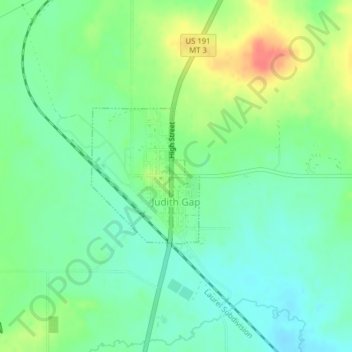
Name: Judith Gap topographic map, elevation, terrain.
Average elevation: 1,406 m
Minimum elevation: 1,386 m
Maximum elevation: 1,442 m
Make a donation
Gear up for your next adventure:
As an Amazon Associate, this site earns from qualifying purchases at no extra cost to you.