
Saratoga National Historical Park topographic map
Interactive map
Click on the map to display elevation.
About this map
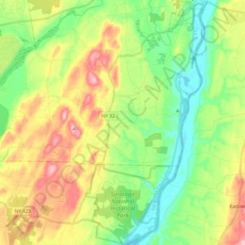
Name: Saratoga National Historical Park topographic map, elevation, terrain.
Average elevation: 87 m
Minimum elevation: 21 m
Maximum elevation: 189 m