
Villavallelonga topographic map
Interactive map
Click on the map to display elevation.
About this map
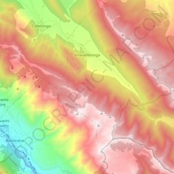
Name: Villavallelonga topographic map, elevation, terrain.
Location: Villavallelonga, L'Aquila, Abruzzo, Italy (41.78725 13.59804 41.90347 13.74309)
Average elevation: 1,270 m
Minimum elevation: 312 m
Maximum elevation: 1,997 m
Other topographic maps
Click on a map to view its topography, its elevation and its terrain.