Geolocate

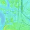
Berchem topographic map

Click on the map to display elevation.

About this map
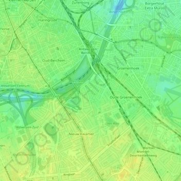
Name: Berchem topographic map, elevation, terrain.

Location: Berchem, Antwerp, Flanders, 2600, Belgium (51.17670 4.41046 51.20724 4.45162)

Average elevation: 12 m

Minimum elevation: -4 m

Maximum elevation: 20 m

Other topographic maps

Click on a map to view its topography, its elevation and its terrain.
Antwerp

Belgium > Antwerp > Antwerp > Antwerp

Average elevation: 5 m

Lillo-Fort

Belgium > Antwerp > Antwerp > Antwerp

Average elevation: 3 m

Antwerp

Belgium > Antwerp > Antwerp > Antwerp

Average elevation: 9 m

Donk

Belgium > Antwerp > Antwerp > Antwerp > Ekeren

Average elevation: 6 m

Gear up for your next adventure:

🧵Survival Paracord - Multi-purpose cordage for emergency repairs and shelters
🪢Paracord - Multi-purpose cord for camping and survival
🧷Tenacious Repair Tape - Instant fix for torn tents, jackets, or dry bags
⌚GPS Outdoor Watches - Watches with GPS tracking for hiking and exploration
🌄Outdoor Binoculars - Compact binoculars for landscape observation

As an Amazon Associate, this site earns from qualifying purchases at no extra cost to you.