
Kinder Scout National Nature Reserve topographic map
Interactive map
Click on the map to display elevation.
About this map
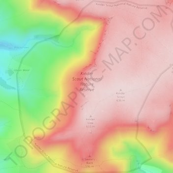
Name: Kinder Scout National Nature Reserve topographic map, elevation, terrain.
Average elevation: 513 m
Minimum elevation: 281 m
Maximum elevation: 638 m