
Haysville topographic map
Interactive map
Click on the map to display elevation.
About this map
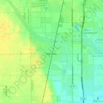
Name: Haysville topographic map, elevation, terrain.
Location: Haysville, Sedgwick County, Kansas, United States (37.53506 -97.39780 37.59781 -97.30797)
Average elevation: 388 m
Minimum elevation: 378 m
Maximum elevation: 398 m
Other topographic maps
Click on a map to view its topography, its elevation and its terrain.