مطار جرية الجنوب غربي topographic map
Interactive map
Click on the map to display elevation.
About this map
Name: مطار جرية الجنوب غربي topographic map, elevation, terrain.
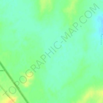
Average elevation: 571 m
Minimum elevation: 561 m
Maximum elevation: 585 m

Click on the map to display elevation.
Name: مطار جرية الجنوب غربي topographic map, elevation, terrain.
Average elevation: 571 m
Minimum elevation: 561 m
Maximum elevation: 585 m