
Khahil topographic map
Interactive map
Click on the map to display elevation.
About this map
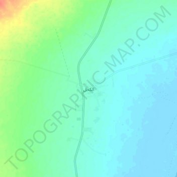
Name: Khahil topographic map, elevation, terrain.
Location: Khahil, Al Wusta Governorate, Oman (18.54470 56.54691 18.62470 56.62691)
Average elevation: 10 m
Minimum elevation: -3 m
Maximum elevation: 42 m
Other topographic maps
Click on a map to view its topography, its elevation and its terrain.