
Jocotán topographic map
Interactive map
Click on the map to display elevation.
About this map
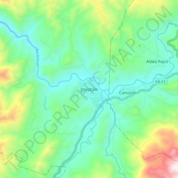
Name: Jocotán topographic map, elevation, terrain.
Location: Jocotán, Chiquimula, 20004, Guatemala (14.78117 -89.43027 14.86117 -89.35027)
Average elevation: 637 m
Minimum elevation: 352 m
Maximum elevation: 1,400 m