
Sulina topographic map
Interactive map
Click on the map to display elevation.
About this map
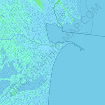
Name: Sulina topographic map, elevation, terrain.
Location: Sulina, Tulcea, 825400, Roménia (45.03968 29.39411 45.23842 29.76841)
Average elevation: 0 m
Minimum elevation: -5 m
Maximum elevation: 6 m
Other topographic maps
Click on a map to view its topography, its elevation and its terrain.
Pădurea Letea
Roménia > Tulcea > Chilia Veche
Pădurea Letea, Danube Delta, Chilia Veche, Tulcea, Roménia
Average elevation: 2 m