
Kirkover Hills topographic map
Interactive map
Click on the map to display elevation.
About this map
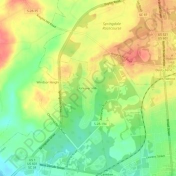
Name: Kirkover Hills topographic map, elevation, terrain.
Average elevation: 72 m
Minimum elevation: 40 m
Maximum elevation: 102 m
Other topographic maps
Click on a map to view its topography, its elevation and its terrain.
Sunnyhill
United States > South Carolina > Kershaw County > Camden > Sunnyhill
Average elevation: 86 m