
Heiken topographic map
Interactive map
Click on the map to display elevation.
About this map
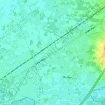
Name: Heiken topographic map, elevation, terrain.
Average elevation: 6 m
Minimum elevation: -1 m
Maximum elevation: 28 m
Other topographic maps
Click on a map to view its topography, its elevation and its terrain.
Heesdonk
België > Oost-Vlaanderen > Dendermonde > Waasmunster > Ruiter
Heesdonk, Ruiter, Waasmunster, Dendermonde, Oost-Vlaanderen, 9250, België
Average elevation: 9 m