
Grand Sarcouy topographic map
Interactive map
Click on the map to display elevation.
About this map
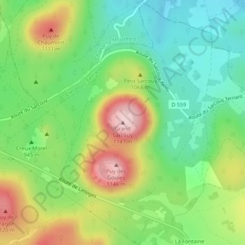
Name: Grand Sarcouy topographic map, elevation, terrain.
Average elevation: 974 m
Minimum elevation: 870 m
Maximum elevation: 1,139 m
Other topographic maps
Click on a map to view its topography, its elevation and its terrain.
Puy des Goules
Frankreich > Auvergne-Rhone-Alpen > Orcines
Puy des Goules, Orcines, Clermont-Ferrand, Puy-de-Dôme, Auvergne-Rhone-Alpen, Metropolitanes Frankreich, 63870, Frankreich
Average elevation: 994 m