
Provincia de Chanchamayo topographic map
Interactive map
Click on the map to display elevation.
About this map
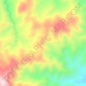
Name: Provincia de Chanchamayo topographic map, elevation, terrain.
Location: Provincia de Chanchamayo, Perené, Chanchamayo, Junín, Perú (-11.03473 -75.10922 -10.99473 -75.06922)
Average elevation: 1,694 m
Minimum elevation: 1,338 m
Maximum elevation: 2,063 m
Other topographic maps
Click on a map to view its topography, its elevation and its terrain.
Jose Olaya
Jose Olaya, Perené, Chanchamayo, Junín, Perú
Average elevation: 1,145 m
Catarata Velo de Novia
Catarata Velo de Novia, Perené, Chanchamayo, Junín, Perú
Average elevation: 854 m