
Muhaj topographic map
Interactive map
Click on the map to display elevation.
About this map
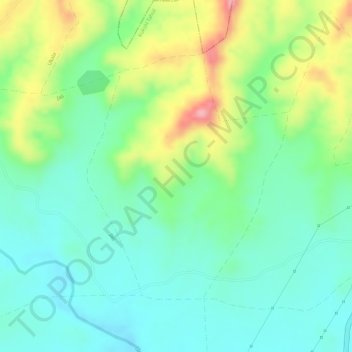
Name: Muhaj topographic map, elevation, terrain.
Location: Muhaj, Kukshi Tahsil, Dhar District, Madhya Pradesh, India (22.53163 74.83130 22.55052 74.84795)
Average elevation: 416 m
Minimum elevation: 369 m
Maximum elevation: 502 m
Other topographic maps
Click on a map to view its topography, its elevation and its terrain.