
Kaw City topographic map
Interactive map
Click on the map to display elevation.
About this map
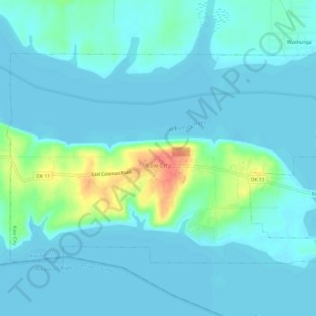
Name: Kaw City topographic map, elevation, terrain.
Location: Kaw City, Kay County, Oklahoma, 74641, United States (36.75267 -96.88914 36.78208 -96.83397)
Average elevation: 315 m
Minimum elevation: 306 m
Maximum elevation: 361 m