
Břasy topographic map
Interactive map
Click on the map to display elevation.
About this map
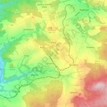
Name: Břasy topographic map, elevation, terrain.
Location: Břasy, okres Rokycany, Plzeňský kraj, Jihozápad, Tcheca (49.79882 13.51256 49.86290 13.60055)
Average elevation: 437 m
Minimum elevation: 286 m
Maximum elevation: 615 m