
Ojere topographic map
Interactive map
Click on the map to display elevation.
About this map
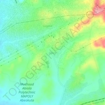
Name: Ojere topographic map, elevation, terrain.
Location: Ojere, Obafemi Owode, Ogun State, 111101, Nigeria (7.08658 3.31516 7.12658 3.35516)
Average elevation: 66 m
Minimum elevation: 26 m
Maximum elevation: 152 m