
Boulevard Heights topographic map
Interactive map
Click on the map to display elevation.
About this map
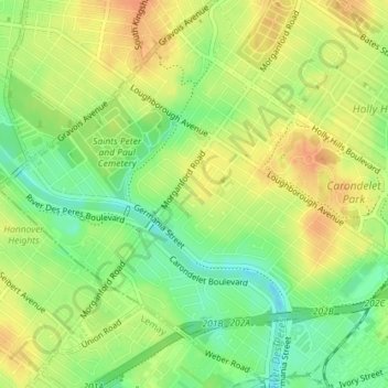
Name: Boulevard Heights topographic map, elevation, terrain.
Location: Boulevard Heights, St. Louis, Missouri, United States (38.54794 -90.29704 38.57589 -90.26232)
Average elevation: 139 m
Minimum elevation: 118 m
Maximum elevation: 156 m
Other topographic maps
Click on a map to view its topography, its elevation and its terrain.