
Anguillita Island topographic map
Interactive map
Click on the map to display elevation.
About this map
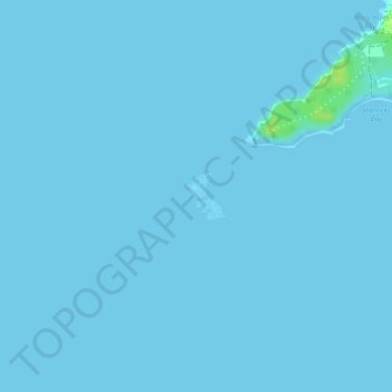
Name: Anguillita Island topographic map, elevation, terrain.
Location: Anguillita Island, Anguilla (18.15486 -63.17732 18.15814 -63.17448)
Average elevation: 0 m
Minimum elevation: 0 m
Maximum elevation: 15 m
Other topographic maps
Click on a map to view its topography, its elevation and its terrain.
Maunday's Bay
Maunday's Bay, Firefly Lane, Long Bay Village, AI2640, Anguilla
Average elevation: 3 m
Anguilla Channel
Anguilla Channel, Jeremiah Gumbs Highway, Blowing Point, AI-2640, Anguilla
Average elevation: 9 m