
Barrage d'Esch-sur-Sûre topographic map
Interactive map
Click on the map to display elevation.
About this map
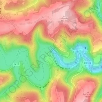
Name: Barrage d'Esch-sur-Sûre topographic map, elevation, terrain.
Location: Barrage d'Esch-sur-Sûre, Esch-sur-Sûre, Canton Wiltz, Luxembourg (49.91084 5.92236 49.91194 5.92434)
Average elevation: 392 m
Minimum elevation: 274 m
Maximum elevation: 486 m
Other topographic maps
Click on a map to view its topography, its elevation and its terrain.
Heiderscheid
Luxembourg > Canton Wiltz > Esch-sur-Sûre
Heiderscheid, Esch-sur-Sûre, Canton Wiltz, Luxembourg
Average elevation: 425 m