
Sarrail Ridge topographic map
Click on the map to display elevation.
About this map
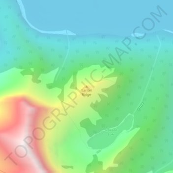
Name: Sarrail Ridge topographic map, elevation, terrain.
Average elevation: 2,042 m
Minimum elevation: 1,698 m
Maximum elevation: 2,915 m
Other topographic maps
Click on a map to view its topography, its elevation and its terrain.
Peter Lougheed Provincial Park
Canada > Alberta > Kananaskis Improvement District
Average elevation: 2,181 m
Bow Valley Provincial Park
Canada > Alberta > Kananaskis Improvement District
Average elevation: 1,705 m
West Bragg Creek Provincial Recreation Area
Canada > Alberta > Kananaskis Improvement District
Average elevation: 1,467 m