
Geshere topographic map
Interactive map
Click on the map to display elevation.
About this map
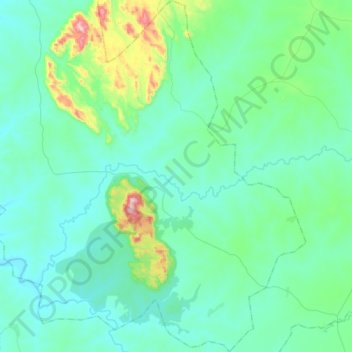
Name: Geshere topographic map, elevation, terrain.
Location: Geshere, Kauru, Kaduna State, Nigeria (9.99802 8.32363 10.29915 8.50090)
Average elevation: 788 m
Minimum elevation: 703 m
Maximum elevation: 1,276 m