
Chang topographic map
Interactive map
Click on the map to display elevation.
About this map
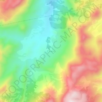
Name: Chang topographic map, elevation, terrain.
Location: Chang, Fundong, Boyo, Northwest, Cameroon (6.32215 10.43627 6.36215 10.47627)
Average elevation: 1,374 m
Minimum elevation: 1,118 m
Maximum elevation: 1,711 m