
五龙口镇 topographic map
Interactive map
Click on the map to display elevation.
About this map
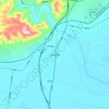
Name: 五龙口镇 topographic map, elevation, terrain.
Location: 五龙口镇, 济源市, 河南省, 中国 (35.09654 112.64302 35.17654 112.72302)
Average elevation: 187 m
Minimum elevation: 125 m
Maximum elevation: 625 m
Other topographic maps
Click on a map to view its topography, its elevation and its terrain.