
Thank you for supporting this site ❤️
Make a donation
Make a donation
Gear up for your next adventure:
As an Amazon Associate, this site earns from qualifying purchases at no extra cost to you.
Idaman topographic map
Click on the map to display elevation.
Thank you for supporting this site ❤️
Make a donation
Make a donation
Gear up for your next adventure:
As an Amazon Associate, this site earns from qualifying purchases at no extra cost to you.
About this map
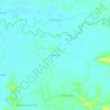
Name: Idaman topographic map, elevation, terrain.
Location: Idaman, Pandeglang, 万丹省, Jawa, 印度尼西亚 / 印度尼西亞 (-6.47894 105.87288 -6.43894 105.91288)
Average elevation: 7 m
Minimum elevation: 2 m
Maximum elevation: 24 m
Thank you for supporting this site ❤️
Make a donation
Make a donation
Gear up for your next adventure:
As an Amazon Associate, this site earns from qualifying purchases at no extra cost to you.