
Kambi Moto topographic map
Interactive map
Click on the map to display elevation.
About this map
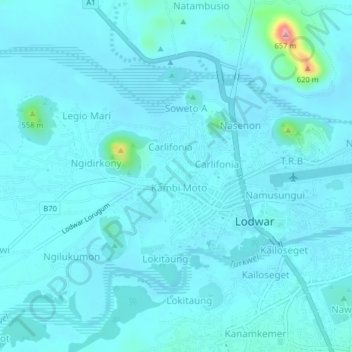
Name: Kambi Moto topographic map, elevation, terrain.
Location: Kambi Moto, Turkana County, Kenya (3.10168 35.57336 3.14168 35.61336)
Average elevation: 504 m
Minimum elevation: 490 m
Maximum elevation: 659 m
Other topographic maps
Click on a map to view its topography, its elevation and its terrain.