
Svinndal topographic map
Interactive map
Click on the map to display elevation.
About this map
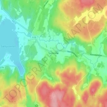
Name: Svinndal topographic map, elevation, terrain.
Location: Svinndal, Våler, Østfold, 1593, Norway (59.40359 10.99659 59.44359 11.03659)
Average elevation: 92 m
Minimum elevation: 45 m
Maximum elevation: 158 m