
Bafia topographic map
Interactive map
Click on the map to display elevation.
About this map
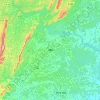
Name: Bafia topographic map, elevation, terrain.
Location: Bafia, pk11, Mbam-et-Inoubou, Centre, Cameroon (4.57993 11.06059 4.89993 11.38059)
Average elevation: 504 m
Minimum elevation: 399 m
Maximum elevation: 964 m
Other topographic maps
Click on a map to view its topography, its elevation and its terrain.