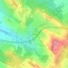
Aszód topographic map
Click on the map to display elevation.
About this map
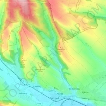
Name: Aszód topographic map, elevation, terrain.
Location: Aszód, Aszódi járás, Pest, Central Hungary, 2170, Hungary (47.64506 19.44541 47.71461 19.51203)
Average elevation: 192 m
Minimum elevation: 121 m
Maximum elevation: 309 m
Other topographic maps
Click on a map to view its topography, its elevation and its terrain.

Pannonian Basin
Under the geopolitically changed conditions created by World War I and the ensuing Treaty of Trianon, the geomorphological term Pannonian Plain was also used for roughly the same region, referring to the lowlands in the area occupied by the Pannonian Sea during the Pliocene. However, Hungarian geographers…
Average elevation: 99 m

Pannonian Basin
Pannonian basin vs Carpathian basin: On the territory of present-day Hungary the ancient Roman Pannonia province was located only on Transdanubian territories, however the Great Hungarian Plain was not part of Pannonia province. This comprises less than 29% of modern Hungary, therefore Hungarian geographers…
Average elevation: 99 m