
Gatsibo topographic map
Interactive map
Click on the map to display elevation.
About this map
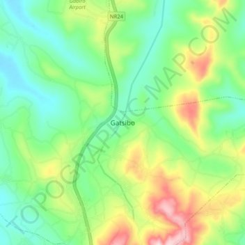
Name: Gatsibo topographic map, elevation, terrain.
Location: Gatsibo, Kabarore, Gatsibo District, Eastern Province, Rwanda (-1.62933 30.35792 -1.54933 30.43792)
Average elevation: 1,472 m
Minimum elevation: 1,367 m
Maximum elevation: 1,679 m