
Nyamagabe topographic map
Interactive map
Click on the map to display elevation.
About this map
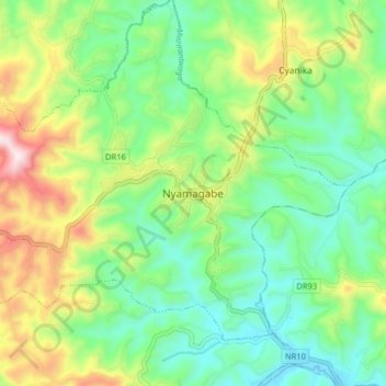
Name: Nyamagabe topographic map, elevation, terrain.
Location: Nyamagabe, Gasaka, Nyamagabe, Southern Province, Rwanda (-2.51213 29.54279 -2.43213 29.62279)
Average elevation: 1,837 m
Minimum elevation: 1,628 m
Maximum elevation: 2,258 m