
Middelkerke topographic map
Interactive map
Click on the map to display elevation.
About this map
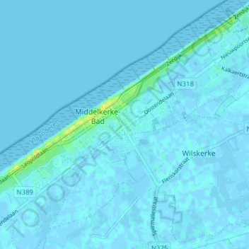
Name: Middelkerke topographic map, elevation, terrain.
Location: Middelkerke, Ostend, West Flanders, Flanders, 8430, Belgium (51.16559 2.80116 51.20559 2.84116)
Average elevation: 1 m
Minimum elevation: -4 m
Maximum elevation: 20 m