
Lake Vidraru topographic map
Interactive map
Click on the map to display elevation.
About this map
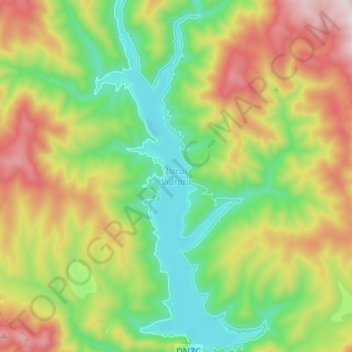
Name: Lake Vidraru topographic map, elevation, terrain.
Location: Lake Vidraru, Arefu, Argeș, Romania (45.36530 24.59440 45.45832 24.65653)
Average elevation: 1,102 m
Minimum elevation: 787 m
Maximum elevation: 1,607 m
Other topographic maps
Click on a map to view its topography, its elevation and its terrain.
Barajul Vidraru
Barajul Vidraru, Arefu, Argeș, Romania
Average elevation: 898 m