
Castellote topographic map
Interactive map
Click on the map to display elevation.
About this map
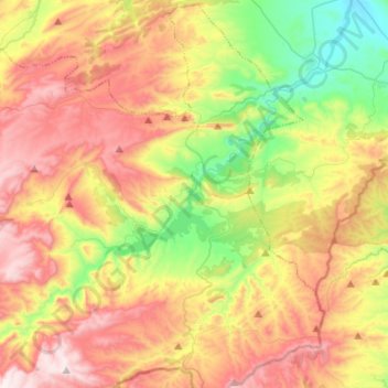
Name: Castellote topographic map, elevation, terrain.
Location: Castellote, Maestrazgo, Teruel, Aragon, Espagne (40.67221 -0.49031 40.86256 -0.23357)
Average elevation: 810 m
Minimum elevation: 448 m
Maximum elevation: 1,221 m