
Arun Banner topographic map
Interactive map
Click on the map to display elevation.
About this map
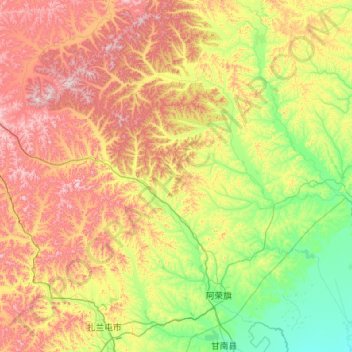
Name: Arun Banner topographic map, elevation, terrain.
Location: Arun Banner, Hulunbuir, Inner Mongolia, China (47.94868 122.04539 49.29202 124.26040)
Average elevation: 465 m
Minimum elevation: 161 m
Maximum elevation: 1,169 m
Other topographic maps
Click on a map to view its topography, its elevation and its terrain.