
Atal Bihari Vajpayee Regional Park topographic map
Interactive map
Click on the map to display elevation.
About this map
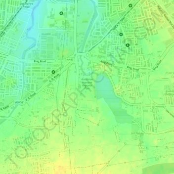
Name: Atal Bihari Vajpayee Regional Park topographic map, elevation, terrain.
Average elevation: 563 m
Minimum elevation: 549 m
Maximum elevation: 573 m
Other topographic maps
Click on a map to view its topography, its elevation and its terrain.
Khajrana Lake
India > Madhya Pradesh > Indore Tahsil > Indore
Khajrana Lake, Indore, Indore Tahsil, Indore District, Madhya Pradesh, 452001, India
Average elevation: 558 m
Ratlam Kothi Udhyan
India > Madhya Pradesh > Indore Tahsil > Indore
Ratlam Kothi Udhyan, Indore, Indore Tahsil, Indore District, Madhya Pradesh, India
Average elevation: 558 m