
Chuburná Puerto topographic map
Interactive map
Click on the map to display elevation.
About this map
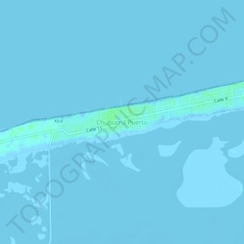
Name: Chuburná Puerto topographic map, elevation, terrain.
Location: Chuburná Puerto, Progreso, Yucatán, 97336, Mexique (21.23245 -89.83578 21.27245 -89.79578)
Average elevation: 0 m
Minimum elevation: -3 m
Maximum elevation: 6 m
Other topographic maps
Click on a map to view its topography, its elevation and its terrain.
Chicxulub Puerto
Chicxulub Puerto, Progreso, Yucatán, 97330, Mexique
Average elevation: 0 m