
Vlad Țepeș topographic map
Interactive map
Click on the map to display elevation.
About this map
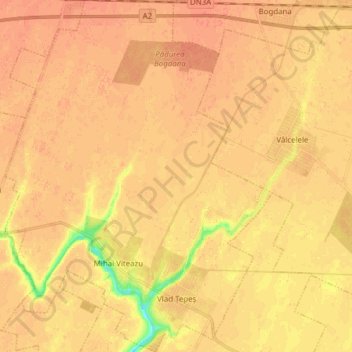
Name: Vlad Țepeș topographic map, elevation, terrain.
Location: Vlad Țepeș, Călărași, Romania (44.32314 27.01948 44.43328 27.13660)
Average elevation: 44 m
Minimum elevation: 16 m
Maximum elevation: 52 m
Other topographic maps
Click on a map to view its topography, its elevation and its terrain.
Ștefan cel Mare
Romania > Călărași > Ștefan cel Mare
Ștefan cel Mare, Călărași, 917245, Romania
Average elevation: 39 m