
Étang de Bolmon topographic map
Interactive map
Click on the map to display elevation.
About this map
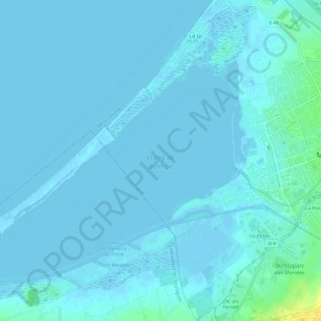
Name: Étang de Bolmon topographic map, elevation, terrain.
Average elevation: 2 m
Minimum elevation: -4 m
Maximum elevation: 23 m
Other topographic maps
Click on a map to view its topography, its elevation and its terrain.
Plage du Jaï
France > Provence-Alpes-Côte d'Azur > Bouches-du-Rhône > Marignane
Plage du Jaï, Marignane, Istres, Bouches-du-Rhône, Provence-Alpes-Côte d'Azur, France métropolitaine, 13700, France
Average elevation: 1 m