
Euphrates topographic map
Interactive map
Click on the map to display elevation.
About this map
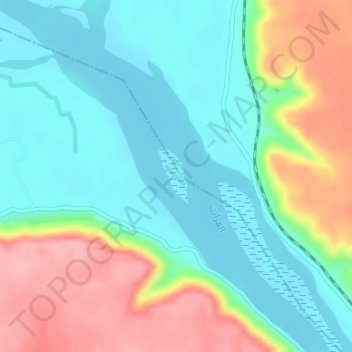
Name: Euphrates topographic map, elevation, terrain.
Location: Euphrates, Qasabi, Deir Ezzor, Syria (35.73617 39.79883 35.74097 39.80220)
Average elevation: 253 m
Minimum elevation: 209 m
Maximum elevation: 339 m