
Sint-Lenaarts topographic map
Interactive map
Click on the map to display elevation.
About this map
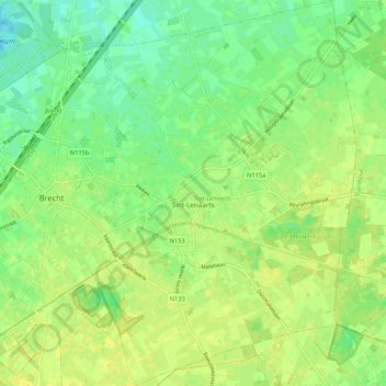
Name: Sint-Lenaarts topographic map, elevation, terrain.
Location: Sint-Lenaarts, Brecht, Antwerp, Flanders, Belgium (51.31622 4.64760 51.38235 4.72359)
Average elevation: 24 m
Minimum elevation: 14 m
Maximum elevation: 30 m
Other topographic maps
Click on a map to view its topography, its elevation and its terrain.