
Kampung Paya Union topographic map
Interactive map
Click on the map to display elevation.
About this map
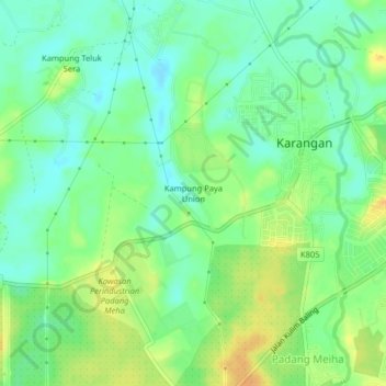
Name: Kampung Paya Union topographic map, elevation, terrain.
Location: Kampung Paya Union, Karangan, Kulim, Kedah, 09400, Malaysia (5.49374 100.58223 5.53374 100.62223)
Average elevation: 17 m
Minimum elevation: 4 m
Maximum elevation: 34 m
Other topographic maps
Click on a map to view its topography, its elevation and its terrain.
Kampung Teluk Sera
Kampung Teluk Sera, Karangan, Kulim, Kedah, 09400, Malaysia
Average elevation: 14 m