
Changjŏn-dong topographic map
Interactive map
Click on the map to display elevation.
About this map
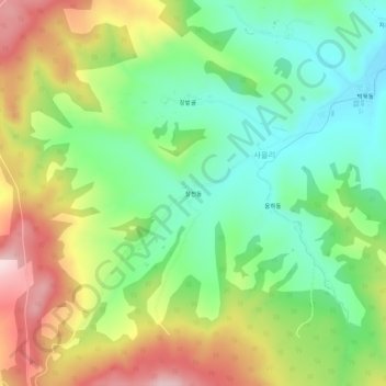
Name: Changjŏn-dong topographic map, elevation, terrain.
Location: Changjŏn-dong, Hoiryŏng, North Hamgyong, North Korea (42.47311 129.82604 42.51311 129.86604)
Average elevation: 405 m
Minimum elevation: 282 m
Maximum elevation: 587 m