
Piz Nair topographic map
Interactive map
Click on the map to display elevation.
About this map
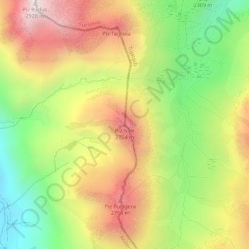
Name: Piz Nair topographic map, elevation, terrain.
Location: Piz Nair, Tujetsch, Surselva, Graubünden, Schweiz (46.60932 8.67772 46.60942 8.67782)
Average elevation: 2,407 m
Minimum elevation: 1,949 m
Maximum elevation: 2,887 m
Other topographic maps
Click on a map to view its topography, its elevation and its terrain.
Tomasee
Schweiz > Graubünden > Surselva > Tujetsch
Tomasee, Tujetsch, Surselva, Graubünden, Schweiz
Average elevation: 2,390 m