
Lasa topographic map
Interactive map
Click on the map to display elevation.
About this map
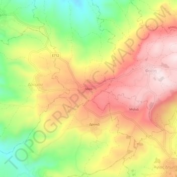
Name: Lasa topographic map, elevation, terrain.
Location: Lasa, Drymou, Paphos District, South Cyprus, 8812, Cyprus (34.90445 32.50779 34.94445 32.54779)
Average elevation: 506 m
Minimum elevation: 275 m
Maximum elevation: 701 m