
Holland Mill topographic map
Interactive map
Click on the map to display elevation.
About this map
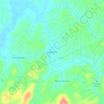
Name: Holland Mill topographic map, elevation, terrain.
Location: Holland Mill, Greene County, Tennessee, United States (36.28760 -82.80210 36.32760 -82.76210)
Average elevation: 392 m
Minimum elevation: 354 m
Maximum elevation: 509 m