
Ngrevaï topographic map
Interactive map
Click on the map to display elevation.
About this map
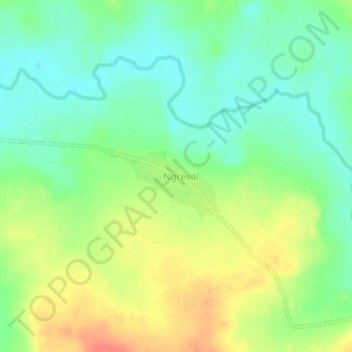
Name: Ngrevaï topographic map, elevation, terrain.
Location: Ngrevaï, Nana-Grébizi, Central African Republic (7.03449 19.42207 7.07449 19.46207)
Average elevation: 450 m
Minimum elevation: 427 m
Maximum elevation: 482 m