Geolocate

Tulu topographic map

Interactive map

Click on the map to display elevation.

About this map

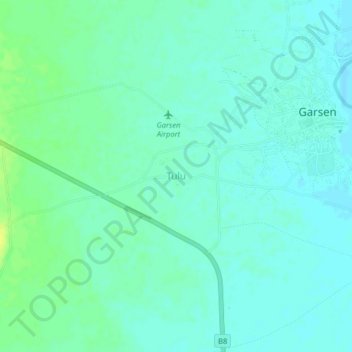
Name: Tulu topographic map, elevation, terrain.

Location: Tulu, Garsen, Tana River County, Kenya (-2.29505 40.07465 -2.25505 40.11465)

Average elevation: 22 m

Minimum elevation: 16 m

Maximum elevation: 33 m

Other topographic maps

Click on a map to view its topography, its elevation and its terrain.

Kulesa

Kenya > Tana River County > Garsen

Kulesa, Garsen, Tana River County, Kenya

Average elevation: 18 m

Delta Dunes Car Park

Kenya > Tana River County > Garsen

Delta Dunes Car Park, Garsen, Tana River County, Kenya

Average elevation: 2 m

Kipini

Kenya > Tana River County > Garsen

Kipini, Garsen, Tana River County, Coastal Kenya, Kenya

Average elevation: 5 m