
Gunung Berembun topographic map
Interactive map
Click on the map to display elevation.
About this map
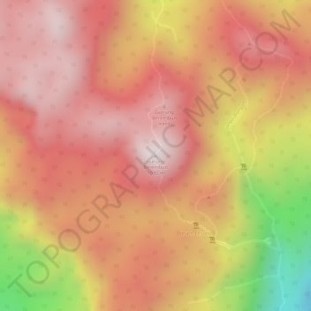
Name: Gunung Berembun topographic map, elevation, terrain.
Location: Gunung Berembun, Dungun, Terengganu, Malaysia (4.63970 102.97062 4.63980 102.97072)
Average elevation: 802 m
Minimum elevation: 358 m
Maximum elevation: 999 m
Other topographic maps
Click on a map to view its topography, its elevation and its terrain.